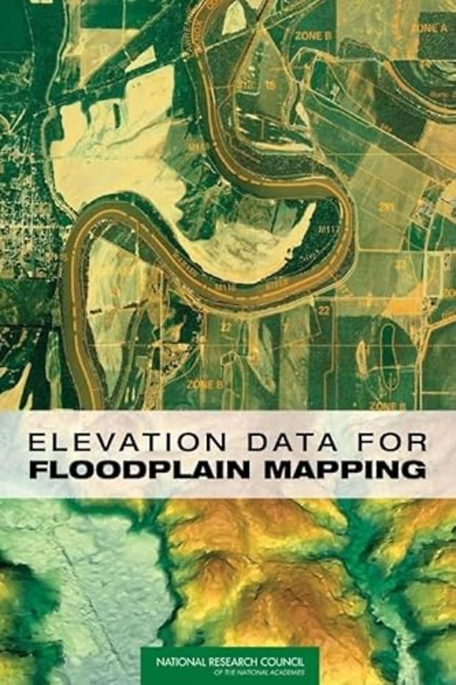
Elevation Data for Floodplain Mapping
Paperback EN 2007 9780309104098Samenvatting
Shows that there is sufficient two-dimensional "base map imagery" to meet Federal Emergency Management Agency's (FEMA's) flood map modernization goals, but that the three-dimensional "base elevation data" that are needed to determine whether a building should have flood insurance are not adequate.
Specificaties
Lezersrecensies
Rubrieken
- advisering
- algemeen management
- coaching en trainen
- communicatie en media
- economie
- financieel management
- inkoop en logistiek
- internet en social media
- it-management / ict
- juridisch
- leiderschap
- marketing
- mens en maatschappij
- non-profit
- ondernemen
- organisatiekunde
- personal finance
- personeelsmanagement
- persoonlijke effectiviteit
- projectmanagement
- psychologie
- reclame en verkoop
- strategisch management
- verandermanagement
- werk en loopbaan

